


Gjør som tusenvis av andre bokelskere
Abonner på vårt nyhetsbrev og få rabatter og inspirasjon til din neste leseopplevelse.
Ved å abonnere godtar du vår personvernerklæring.Du kan når som helst melde deg av våre nyhetsbrev.
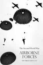
Still restricted on its first publication in 1951, this is an official Air Ministry survey of Airborne Forces in the Second World War. Thorough, yet concise, it takes readers through the expansion of the RAF in the first year of war, listing operations in various theatres from North Africa to D-day and market Garden ( Arnhem). Lavishly illustrated with many maps, there are appendices on specialised aspects of aerial warfare such as Gliders, Parachutes and Radar. The perfect book for serious aerial warriors actual and armchair.
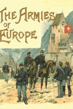
Classic descriptions complete with colour plates and vignettes by the renowned military artist and pioneer of the study of military uniform Richard Knötel, covering the armies of THE BRITISH EMPIRE - THE GERMAN ARMY - AUSTRIA-HUNGARY - ITALY - FRANCE - RUSSIA - DENMARK, SWEDEN AND NORWAY - SPAIN AND PORTUGAL - SWITZERLAND - HOLLAND AND BELGIUM - TURKEY AND THE STATES OF THE BALKAN PENINSULA.Knötel is still the most widely referenced artist in the study of military attire of the early modern era, and is still much in use as a prime reference source today.
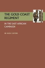
Afer playing a major role in the conquest of German West Africa (Togoland and the Cameroons) 1914-1916, the Gold Coast Regiment was moved to East Africa (so was the Nigeria Regiment) to take part in operations there against von Lettow-Vorbeck. It remained in that theatre till August 1918. The author was Governor of the Gold Coast from 1912 to 1919, and this account of the exploits of the Gold Coast Regiment is regarded as a classic; it combines a regimental history with a study of warfare in the bush. The period it covers has not appeared in the volumes of the Official History which dealt with the campaign from 1914 to 1916 only, ending before the regiment went into action.Index. Honours & Awards, Regimental strength (tabular format), notes on the history of the Mounted Infantry of the Gold Coast Regiment complete this history.
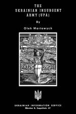
The vast country of the Ukraine, on Russia's south-west borders, was a reluctant addition to the Soviet Union when the Communist state was established after the civil wars of the early 1920s. The scene of horrible man-made famines, and Stalin's purges of the Kulak peasants, the Ukraine's sufferings spawned an anti-Soviet resistance movement which became an army equipped and controlled by the Germans after the Barbarossa invasion of 1944. In this history of the Ukrainian Insurgent Army (UPA), written in German exile by an exiled former member of the UPA at the height of the Cold War in 1950, the author traces the history of the Ukranian nationalist resistance to Communism before and during the war. He plays down the UPA's collaboration with the Nazis - making no mention of any involvement of the organisation with the Holocaust. Nonetheless, this rare typescript history is a valuable account of a phenomenon which is only now receiving its proper historical evaluation.
By the time the author came to write this book he had, he says, been in and out of the Kaiser's 'web' for ten years, having served him faithfully in many capacities and in many places - all over Europe, in Mexico and in the USA. Despite the title, which, presumably, he himself gave the book, he maintains he was not a spy nor was he a secret agent; he was a secret diplomatic agent. The principle countries of his concern were Mexico, which the Germans before and during the war were trying to turn against the USA (the Zimmerman telegram was the final straw as far as the USA was concerned), and the USA itself. There was a conspiracy, he reveals, already ongoing during the first month of the war, to violate the neutrality of the USA and a plot to blow up the Welland Canal in Canada whch connected L: ake Ontario with Lake Erie. The author was the man who planned it.There were plans to suborn German-American citizens and one of the key players was Captain Franz von Papen who would be Chancellor of Germany in 1932 and later Hitler's Vice-Chancellor.At one time von der Goltz was a major in the Mexican army, sentenced to death more than once, and in October 1914 he was arrested in the UK and held in prison for fifteen months, expecting to be shot. In March 1916 he was taken to the USA where he had agreed to testify for the Government against one of the German agents and to spill the beans on German activity in the USA
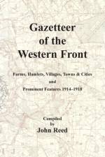
When Europe went to war in 1914 it was fully prepared for conflict; perhaps not so prepared for the conflict that the Great War turned into. Within months of the opening moves the war had become a stalemate; a huge siege stretching 450 miles from the Belgian coast to the Swiss Border. The shovel became as important as the rifle and battlefield intelligence gave armies the cutting edge in the fighting.Battlefield intelligence was based around military mapping. When Britain entered the conflict the maps its officers used was based on local Belgian or French editions. These maps quickly proved unreliable and in 1915 the Royal Engineers re-surveyed the entire British sector of the Western Front and by 1918 produced some of the most detailed and accurate maps of the war. For many years hidden away in archives, these Trench Maps are now widely available in digital form and are in many ways the key to unlocking the battlefield history of the Great War; these maps show us where both sides positions were, the locations of bunkers and artillery and the lie of the land.Locations on these maps were named; sometimes randomly (whole areas were named with words starting with a particular letter) but often following the names given by the soldiers who fought there. These names like Hyde Park Corner or Kitchen's Wood evocated thoughts of home or famous soldiers, but how to find them today when they are mentioned in sources like Regimental Histories or War Diaries.This is where John Reed's Gazetteer of the Western Front comes into its own. John has spent some considerable time painstakingly indexing the locations on the battlefield -farms, hamlets, villages, towns, physical features and battle sites- and here presents them in an easy format. For each site the wartime location is identified using contemporary map sheet data but more importantly the modern GPS location means that they can easily be found on the landscape today.
Abonner på vårt nyhetsbrev og få rabatter og inspirasjon til din neste leseopplevelse.
Ved å abonnere godtar du vår personvernerklæring.